


The view from Mount Greylock across the Berkshire hills of western Massachusetts. © 2026, Chris Sidoruk [License this image]
==========
Quick Jump
- Mount Greylock Overview
- Best Photography Locations
- Summit & War Memorial Tower
- Bascom Lodge & Summit Area
- Scenic Roads & Viewpoints
- Mount Greylock Through the Seasons
- Best Light & Weather Conditions
- Photography Tips & Equipment
- Planning Your Visit
- Nearby Berkshires Photography Locations
- Final Thoughts
- Frequently Asked Questions
Mount Greylock rises above the Berkshires of western Massachusetts, offering expansive mountain views, winding scenic roads, forested hiking trails, and some of the region's most rewarding landscape photography opportunities. At 3,491 feet, it is the highest point in Massachusetts and a destination where changing weather, elevation, and seasonal color continually reshape the landscape.
The summit is the mountain's most recognizable destination, but Mount Greylock offers much more than a single panoramic viewpoint. The surrounding forests, roadside overlooks, historic structures, and nearby Berkshire communities provide a variety of subjects for photographers and visitors.
On a clear day, distant mountain ranges and valleys extend toward the horizon. Fog and low clouds can create quieter, more atmospheric scenes, while autumn brings changing colors across the surrounding hillsides. Even when summit visibility is limited, the mountain offers opportunities to photograph smaller details and the landscape at different elevations.
This guide explores the main photography locations around Mount Greylock, the best conditions for visiting, seasonal changes, and practical information to help plan a trip.
Mount Greylock Overview
Located in Berkshire County in western Massachusetts, Mount Greylock is part of the Appalachian Mountain range and the centerpiece of Mount Greylock State Reservation.
Its summit reaches 3,491 feet above sea level, making it the highest natural point in the state. The elevated position provides expansive views across the surrounding Berkshires and, under favorable visibility, distant landscapes extending well beyond Massachusetts.
The mountain is managed as a state reservation, with opportunities for scenic driving, hiking, camping, and nature observation. Visitors can reach the summit by seasonal auto roads or explore the mountain through its extensive trail network.
One of Mount Greylock's most appealing characteristics is the variety of scenery within the reservation. The landscape changes considerably between the exposed summit and lower elevations.
Higher areas provide open views, distant ridgelines, and dramatic weather. Lower elevations offer forested surroundings, streams, trails, and more intimate landscape compositions.
For photographers, this variety makes Mount Greylock worth exploring beyond the summit.
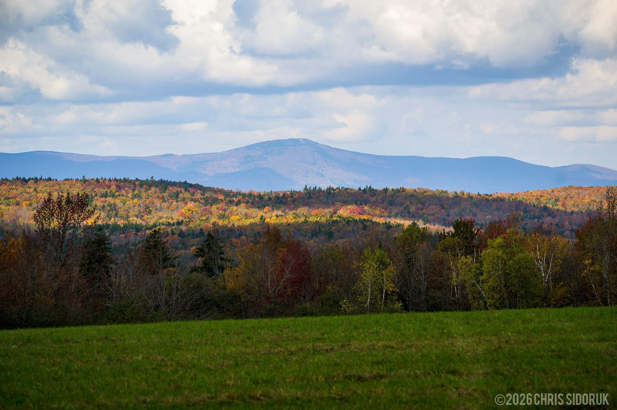
Mount Greylock rises above the surrounding hills and valleys of the Berkshires in western Massachusetts. © 2026, Chris Sidoruk [License this image]
Why Visit Mount Greylock?
Mount Greylock combines several experiences that make it an appealing destination throughout the year.
Expansive Mountain Views
The summit provides one of the most recognizable panoramic viewpoints in Massachusetts. On clear days, the surrounding landscape reveals successive mountain ridges, wooded hillsides, and distant valleys.
Scenic Driving
Seasonal auto roads allow visitors to reach the summit without completing a strenuous hike. The drive itself offers changing views of the mountain and opportunities to stop at designated viewpoints.
Hiking and Outdoor Recreation
The reservation includes trails ranging from relatively short walks to challenging hikes. The Appalachian Trail also passes through the mountain, making Mount Greylock part of a much larger network of hiking routes.
Changing Seasonal Landscapes
Spring greenery, summer forests, autumn foliage, and winter conditions each create a different experience. Fall is particularly popular, but the mountain offers photographic opportunities beyond the foliage season.
Historic Summit Landmarks
The Veterans War Memorial Tower is one of Mount Greylock's most recognizable features. Nearby Bascom Lodge adds historic architecture and another point of interest to the summit area.
Best Mount Greylock Photography Locations
Mount Greylock is best approached as a collection of photography locations rather than a single viewpoint.
The summit is an obvious starting point, but different elevations and surroundings offer opportunities that can be just as interesting. Depending on visibility, weather, and season, a forested overlook or roadside composition may produce a stronger photograph than the main summit view.
Some of the most useful areas to explore include:
The summit and Veterans War Memorial Tower
The Bascom Lodge area
Designated scenic overlooks
Mountain roads and forest surroundings
Lower-elevation trails and wooded areas
A flexible approach makes it easier to adapt when conditions change.
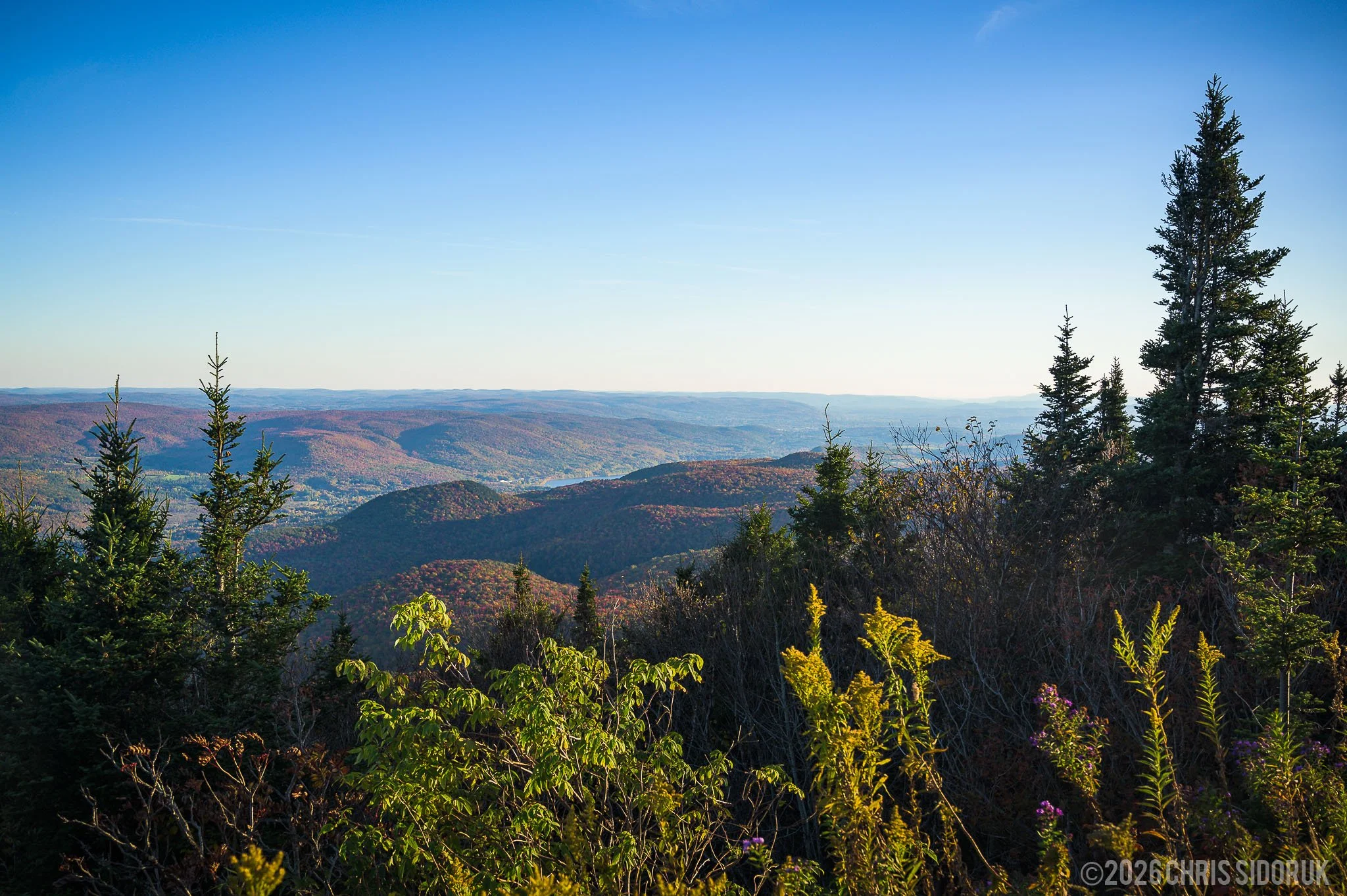
Layered mountain ridges and rolling valleys viewed from the summit of Mount Greylock. © 2026, Chris Sidoruk [License this image]
Summit & War Memorial Tower
The summit is the most recognizable destination at Mount Greylock and the primary attraction for visitors arriving by the seasonal auto roads.
At the top stands the Veterans War Memorial Tower, a stone monument dedicated to Massachusetts residents who lost their lives serving in the armed forces. Its distinctive structure has become one of the defining landmarks of the mountain.
The surrounding summit area provides open views across the Berkshires, with opportunities to photograph the tower, surrounding landscape, and changing weather conditions.
Photographing the Summit Views
The open summit is particularly well suited to wide landscape photography.
Look for compositions that emphasize the overlapping ridgelines and the gradual transition from nearby hills to distant mountains. Including a foreground element can help establish depth and make the scale of the landscape easier to understand.
A clear day can reveal considerable distance, but changing atmospheric conditions can produce equally interesting results.
Haze may soften distant mountains, while broken clouds can create alternating areas of light and shadow across the hillsides. Fog can obscure the larger panorama but simplify the scene into more intimate compositions.
Photographing the War Memorial Tower
The tower provides an architectural subject that contrasts with the surrounding natural landscape.
Wide compositions can include the structure alongside the open summit and distant mountains. Closer photographs can emphasize the stonework, architectural details, and relationship between the tower and its surroundings.
The changing seasons also affect how the structure appears in photographs. Autumn foliage adds color, while winter conditions can emphasize the tower's shape and texture.
The tower is open seasonally and weather permitting. Visitors should check current operating information before planning a visit specifically to access the observation area.
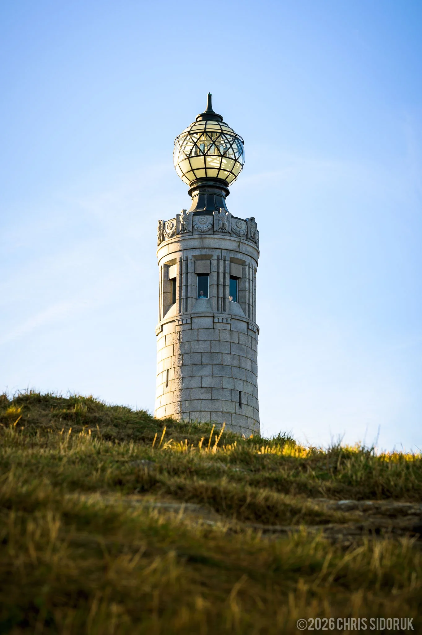
The historic War Memorial Tower is one of the most recognizable landmarks on Mount Greylock. © 2026, Chris Sidoruk [License this image]
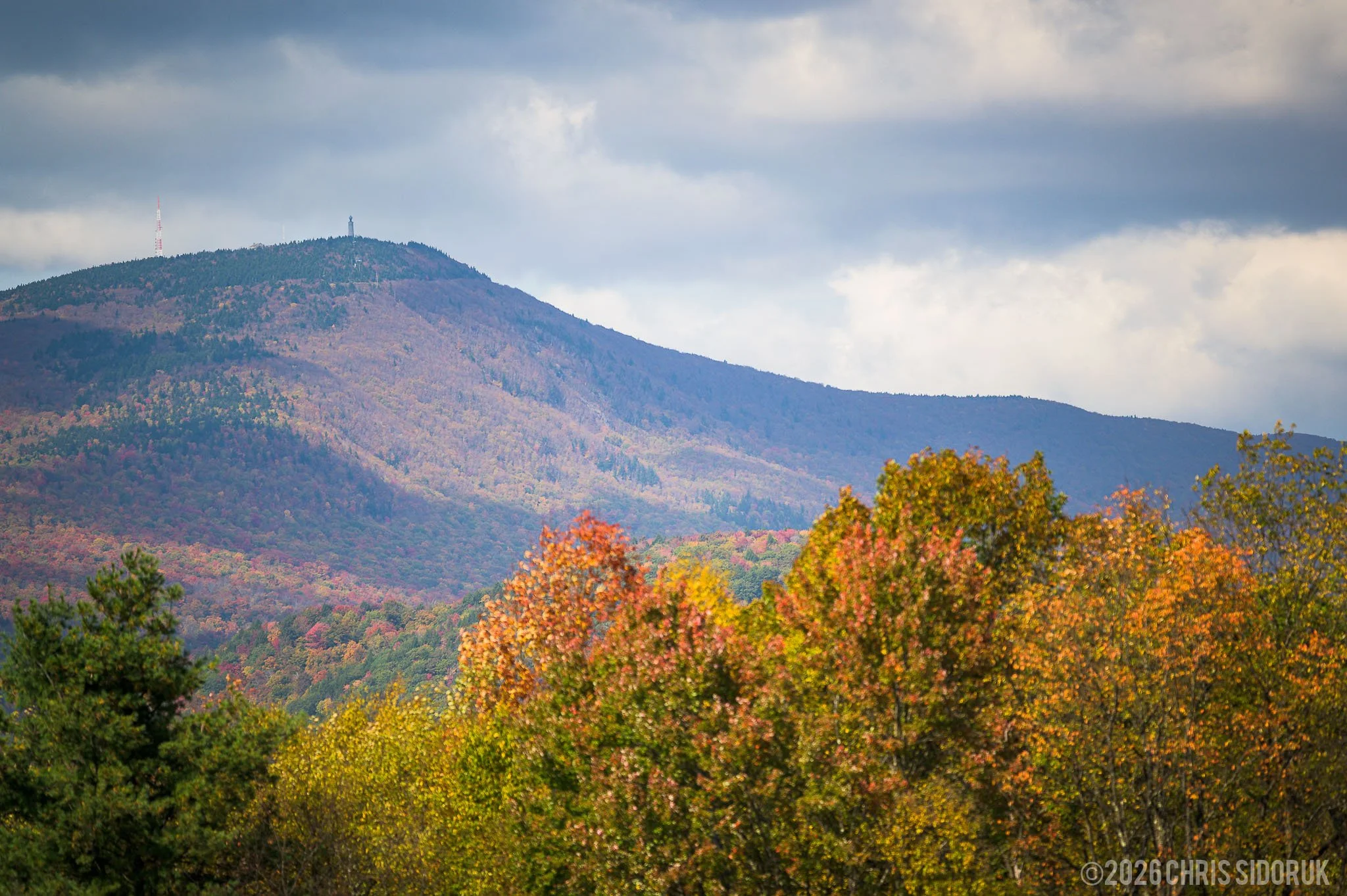
The Veterans War Memorial Tower stands near the summit of Mount Greylock in the Berkshires. © 2026, Chris Sidoruk [License this image]
Bascom Lodge & Summit Area
Bascom Lodge is located near the summit and provides another point of interest for visitors exploring Mount Greylock.
Built with natural materials and designed to complement its mountain surroundings, the lodge has a distinctive rustic character. Its setting provides opportunities for architectural photography as well as photographs that combine the building with the surrounding forest and mountain landscape.
The lodge is also a seasonal destination for meals and overnight accommodations. It is independently operated, so its availability and hours should be checked separately from the state reservation's general operating information.
Photography Around the Lodge
The area around Bascom Lodge offers a different perspective from the exposed summit viewpoints.
Look for compositions that include the building, nearby trees, pathways, and surrounding terrain. These smaller scenes can be especially useful when clouds or fog limit distant visibility.
The lodge's architecture can also provide a strong subject during overcast conditions, when softer light helps reveal texture without harsh shadows.
Scenic Roads & Viewpoints
The drive through Mount Greylock State Reservation is part of the experience.
The mountain's seasonal auto roads wind through forested terrain and climb toward the summit. Along the way, the changing elevation creates different perspectives of the surrounding landscape.
Rather than driving directly to the top, allow time to explore designated pull-offs and viewpoints where stopping is permitted.
These areas can provide compositions that differ from the more familiar summit panoramas.
Roadside Photography
Roadside viewpoints are useful for photographing the relationship between the mountain, surrounding forests, and distant valleys.
During autumn, mid-elevation areas can provide particularly interesting compositions. Colorful trees may be closer to the camera, while the surrounding hills create additional layers in the background.
Look for:
Openings between trees that reveal distant hills
Colorful foreground foliage
Winding roads through forested areas
Overlapping mountain ridges
Interesting cloud formations above the landscape
Always use designated parking areas and pull-offs. The mountain roads can be narrow and winding, so avoid stopping in the roadway or in areas where vehicles cannot safely pull over.
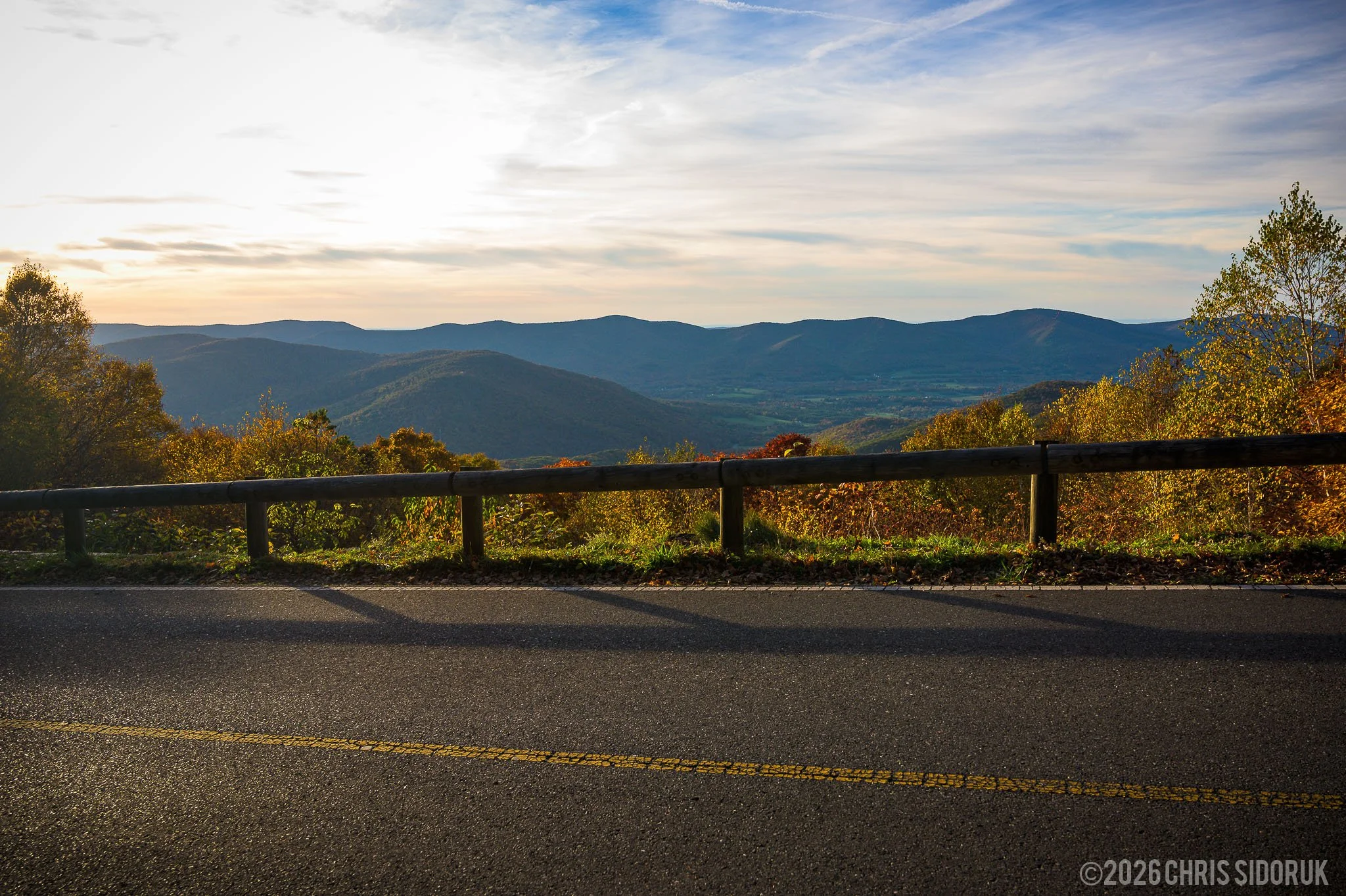
The scenic roads through Mount Greylock State Reservation provide changing views of the mountain and surrounding forests. © 2026, Chris Sidoruk [License this image]
Exploring Beyond the Main Summit
The summit receives most of the attention, but lower areas of the reservation provide opportunities for more intimate landscape photography.
Forested trails, streams, and changes in vegetation can become interesting subjects, particularly when the summit is crowded or visibility is limited.
These areas are also useful during harsh midday light, when the forest canopy provides softer and more controlled lighting.
Photographers interested in exploring beyond the main viewpoints should consult the official trail map and choose routes appropriate for their experience and available time.
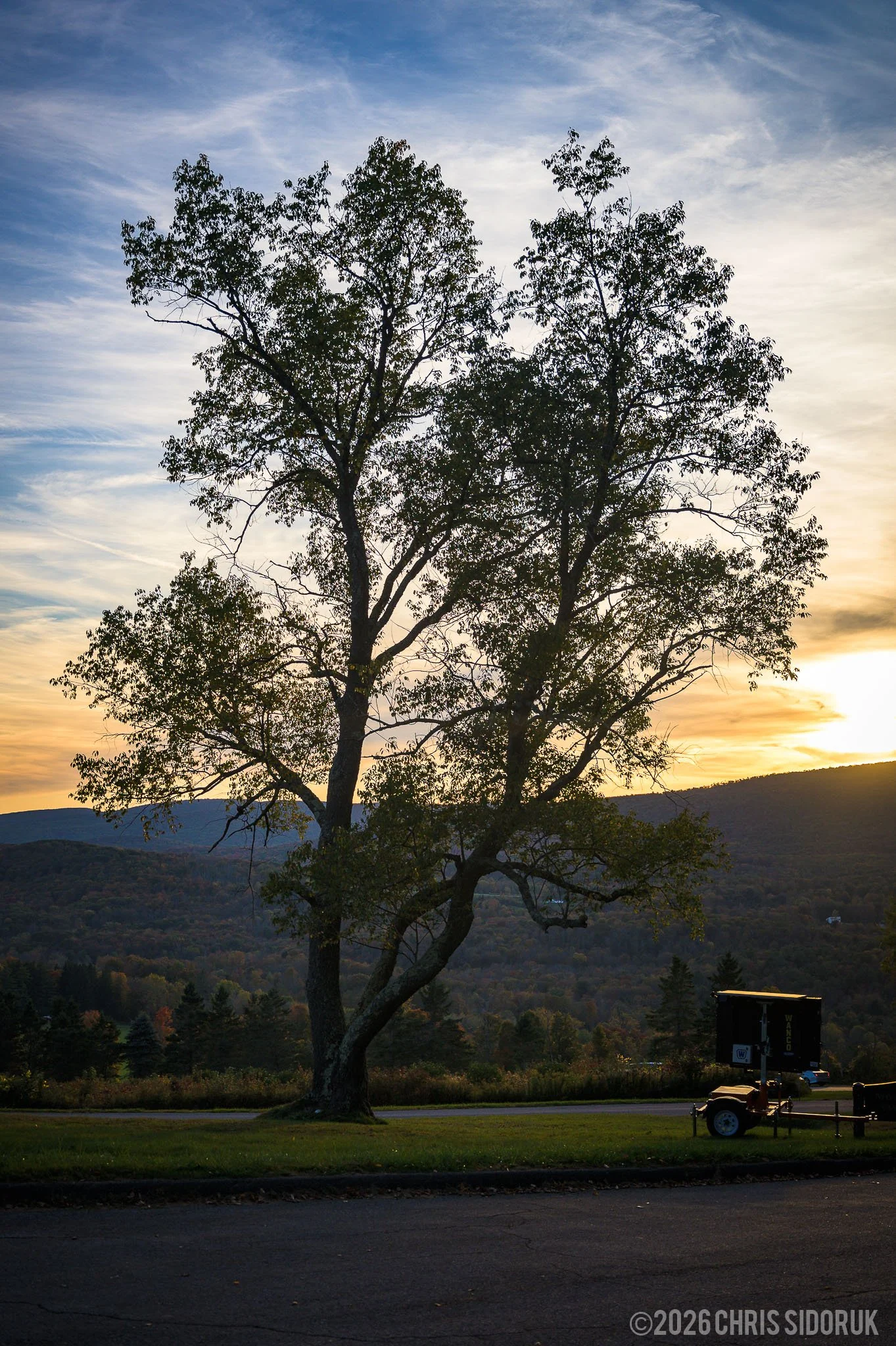
Forested areas around Mount Greylock offer a quieter perspective beyond the main summit viewpoints. © 2026, Chris Sidoruk [License this image]
Mount Greylock Through the Seasons
Mount Greylock changes significantly throughout the year. Each season offers a different landscape, and the best time to visit depends on the scenery and photography opportunities you want to experience.
Spring
Spring brings the gradual return of greenery to the mountain.
New leaves, forest vegetation, and changing weather create opportunities for fresh landscape compositions. Streams and woodland details can also provide interesting subjects.
Early spring may still feel like winter at higher elevations, so visitors should be prepared for cooler temperatures and changing trail conditions.
Summer
Summer offers lush forests, longer daylight hours, and generally more comfortable conditions for hiking.
The dense greenery creates a different visual character from the open colors of autumn. It can also make woodland photography particularly appealing.
The summit provides a welcome contrast to the forested lower elevations, with open views and opportunities to photograph distant landscapes.
Fall
Autumn is Mount Greylock's most recognizable photography season.
The surrounding Berkshires become a mixture of yellow, orange, red, and green as the foliage changes. The mountain's elevation and varied terrain mean that color does not necessarily develop at the same time across the entire landscape.
Higher elevations may begin changing before lower slopes and valleys, creating different stages of autumn color within the same view.
Peak timing varies from year to year, so it is best to monitor current regional foliage reports rather than rely on a fixed calendar date.
For a closer look at the autumn landscape, see my Mount Greylock Fall Foliage Photography Guide, which documents conditions photographed during the first week of October 2024.
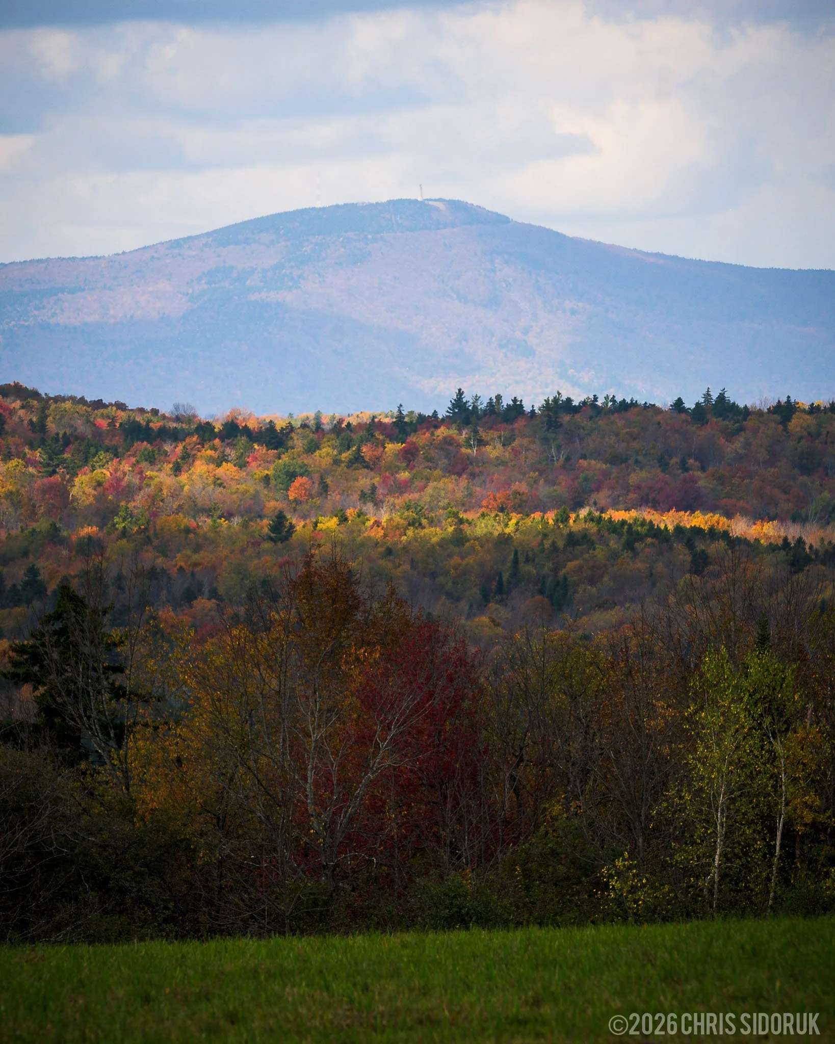
Autumn color spreads across the rolling hills of the Berkshires surrounding Mount Greylock. © 2026, Chris Sidoruk [License this image]
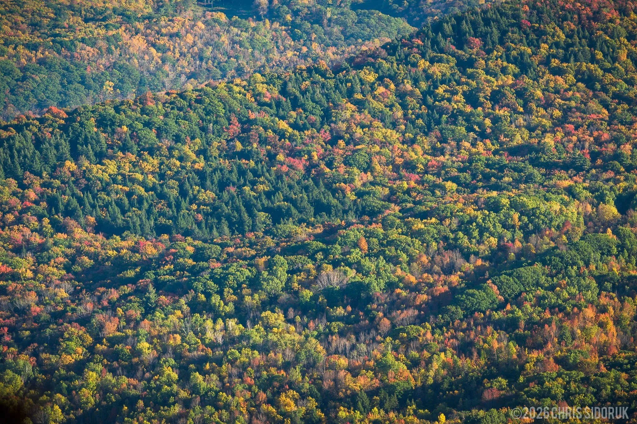
Changing foliage creates layers of color across the Mount Greylock landscape. © 2026, Chris Sidoruk [License this image]
Winter
Winter transforms Mount Greylock into a more minimal landscape.
Snow, ice, bare trees, and reduced vegetation create opportunities to photograph mountain contours, isolated trees, and architectural details. The summit can also experience much colder temperatures and stronger winds than surrounding lower elevations.
Winter access is different from the regular summer and fall driving season. The summit auto roads close seasonally, although hiking and certain winter recreation opportunities may remain available depending on conditions.
Visitors should check current access information before traveling and prepare for winter mountain weather.
Best Light & Weather Conditions
Weather is one of the most important factors when photographing Mount Greylock.
Because of its elevation, conditions at the summit can differ noticeably from those in nearby towns and valleys. Visibility, wind, temperature, and cloud cover can change the appearance of the landscape and influence which locations are most productive.
Rather than planning around one ideal forecast, consider how different conditions can affect the photographs you want to create.
Sunrise Photography
Early morning can be an excellent time to photograph Mount Greylock.
The first light of the day may illuminate distant ridgelines while lower valleys remain in shadow. During suitable weather conditions, fog or low clouds can also create atmospheric separation between the mountain layers.
Morning visits can offer a quieter experience than the busiest daytime periods, particularly during the fall foliage season.
Allow time to reach your chosen viewpoint and prepare before the light changes. If you are planning to photograph from the summit, remember that access to the auto roads is seasonal.
Sunset Photography
Late afternoon and sunset can create warm light across the surrounding hills.
As the sun lowers, shadows become longer and can reveal the contours of the landscape. Broken clouds may also create interesting patterns of light across the Berkshires.
The best viewpoint depends on the direction of the light and the weather. Some compositions work better with the sun illuminating the landscape, while others benefit from photographing toward the changing sky.
Plan your return before visiting late in the day. Summit temperatures can drop quickly, and the mountain roads have seasonal access restrictions.
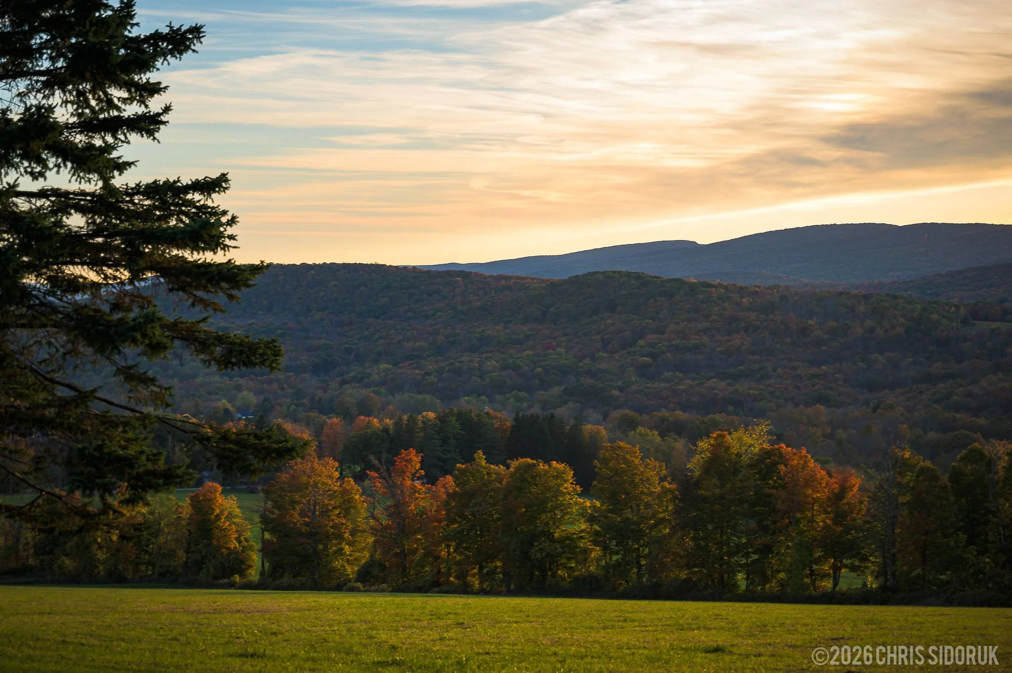
Evening light brings warmer tones to the rolling landscape surrounding Mount Greylock. © 2026, Chris Sidoruk [License this image]
Fog and Low Clouds
Fog is one of the most interesting conditions to encounter on Mount Greylock.
Although low visibility can eliminate the distant panoramic views, it can also create a completely different photographic experience.
Trees, nearby structures, and sections of the landscape become more prominent as distant details disappear. This can produce simpler compositions with a stronger sense of atmosphere.
When the summit is covered in cloud, consider exploring lower-elevation areas where nearby subjects may remain visible.
Overcast Conditions
Cloudy weather can be useful for photographing forests, foliage, and architectural details.
The softer light reduces harsh shadows and can help preserve detail across a wider range of tones. It is particularly useful for woodland scenes and closer compositions where direct sunlight might create distracting contrast.
A gray sky does not automatically mean poor photography conditions. Sometimes it is better suited to the subject than a completely clear day.
Understanding Weather as a Photography Tool
Different conditions create different opportunities:
| Weather Condition | Photography Opportunities |
|---|---|
| Clear skies | Panoramic views and distant mountain layers |
| Fog | Atmospheric landscapes and simplified compositions |
| Broken clouds | Dramatic light and changing shadows |
| Overcast | Woodland scenes, foliage, and softer contrast |
| Snow and winter weather | Minimal landscapes, trees, and mountain textures |
The most productive approach is to remain flexible. If the summit is obscured, look for nearby subjects. If the light is harsh, explore forested areas. Changing conditions are part of what makes Mount Greylock interesting to photograph.
Photography Tips & Equipment
Mount Greylock does not require a large or specialized camera kit. A flexible landscape photography setup is generally sufficient for the variety of scenes found around the mountain.
The most useful equipment depends on whether you plan to photograph broad summit views, distant mountain ridges, woodland details, or a combination of subjects.
Choosing the Right Lens
Wide-Angle Lens
A wide-angle lens is useful for expansive summit views, dramatic skies, and compositions that include foreground elements.
It can help communicate the scale of the landscape, particularly when the foreground and distant mountain layers work together.
Standard Zoom Lens
A standard zoom is one of the most versatile options for a Mount Greylock visit.
It provides flexibility for general landscape photography, roadside viewpoints, architectural details, and woodland scenes without requiring frequent lens changes.
Telephoto Lens
A telephoto lens is especially useful for photographing the Berkshires' layered ridgelines.
Longer focal lengths allow you to isolate distant hills, emphasize patterns in the landscape, and create compositions that focus on smaller sections of the surrounding terrain.
For photographers interested in autumn color, a telephoto lens can be particularly effective for isolating patches of foliage across distant slopes.
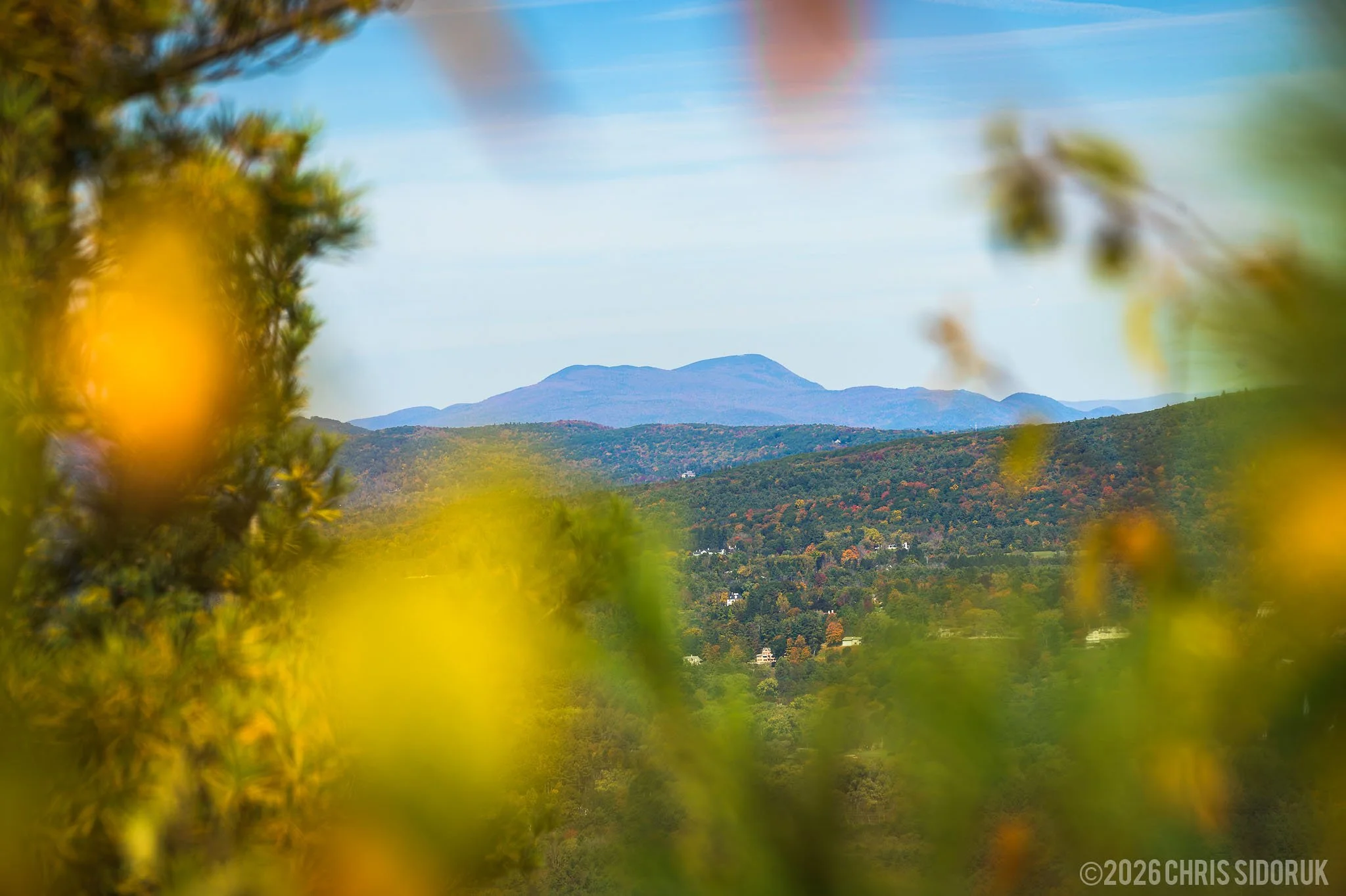
Telephoto compositions reveal the repeating patterns and changing colors of the Berkshire hills. © 2026, Chris Sidoruk [License this image]
Tripods and Filters
A tripod is useful for sunrise, sunset, and low-light photography, particularly when you want to use slower shutter speeds or carefully compose a landscape.
It is not essential for every visit, however. Many summit and roadside photographs can be made handheld in suitable light.
A circular polarizing filter can help reduce reflections and glare, particularly when photographing foliage. Neutral density filters provide additional control for long exposures when light levels are high.
These accessories are useful additions, but they are not requirements for making good photographs at Mount Greylock.
Protecting Your Equipment
Weather conditions can change quickly at higher elevations.
A few practical items can make a visit more comfortable:
Extra camera batteries
Lens cloth and cleaning supplies
Rain protection for camera equipment
A weather-resistant camera bag
Comfortable footwear
Warm layers, even during warmer months
Water and snacks
A headlamp for early starts
For longer hikes, consider carrying a lighter setup. The ability to move comfortably and explore different areas can be more valuable than bringing every piece of equipment you own.
For more detailed equipment recommendations, see my Best Lenses for Landscape Photography and Best Cameras for Landscape Photography guides.
Planning Your Visit to Mount Greylock
A little preparation can make a significant difference when visiting Mount Greylock.
The reservation covers a large area, and access to the summit is not available by car throughout the year. Weather and seasonal operating schedules can also affect which facilities and viewpoints are open.
Location and Directions
Mount Greylock State Reservation is located in Berkshire County in western Massachusetts, near the communities of Lanesborough, Adams, and North Adams.
The main visitor center and park headquarters are located at:
Mount Greylock Visitor Center
30 Rockwell Road
Lanesborough, MA 01237
The visitor center provides orientation information, exhibits, restrooms, and access to park information. It is a useful starting point for visitors unfamiliar with the reservation.
The summit is several miles from the visitor center, reached by the mountain's scenic auto roads during the operating season.
For directions and current visitor information, consult the official Mount Greylock State Reservation page.
Summit Road Access
One of the most important things to understand before visiting is that the summit auto roads operate seasonally.
The roads generally open in late spring and close in late October, with exact dates varying by year and conditions. The 2026 operating schedule, for example, lists May 16 through October 30 for summit auto-road access.
The reservation and its hiking opportunities are not limited to the auto-road season, but reaching the summit by car is.
DCR also currently restricts vehicles longer than 22 feet from traveling on the Mount Greylock auto roads and to the summit. Check the official reservation page for current restrictions and operating information before setting out.
Parking and Fees
Parking is available at the visitor center, trailheads, and summit areas.
The visitor center has free parking. Fees may apply at the summit and other designated parking areas, with rates and collection schedules subject to change.
Parking availability at the summit can also be limited during busy periods, particularly during fall foliage season.
Check the Massachusetts DCR parking information for current fees and requirements before visiting.
Hiking and Trails
Mount Greylock offers a network of hiking trails with a range of distances and difficulty levels.
The Appalachian Trail crosses the mountain, providing access to longer-distance hiking as well as opportunities for shorter outings along portions of the route.
Hiking offers a different experience from driving to the summit. Trails provide access to wooded areas, ridgelines, and landscapes that are not visible from the main roads.
Before choosing a route, review the official trail map and consider your experience, available time, and current trail conditions.
You can find trail information and downloadable maps through the Massachusetts DCR Mount Greylock resources.
Accessibility
Mount Greylock has accessible visitor facilities and scenic viewpoints.
At the summit, an approximately quarter-mile paved loop provides access to scenic views. The terrain and conditions can vary elsewhere in the reservation, so visitors should consult the official accessibility information when planning a trip around specific needs.
Bascom Lodge and Summit Facilities
Bascom Lodge operates seasonally and is managed separately from the state reservation. It offers meals and overnight accommodations during its operating season.
The Veterans War Memorial Tower also has seasonal hours and may close due to weather conditions.
Do not assume that the lodge, tower, or summit facilities will be open simply because the reservation itself is accessible. Check their current schedules before traveling.
Weather and Safety
Weather at the summit can be noticeably different from conditions at lower elevations.
Temperatures are often cooler, and wind can make the summit feel considerably colder. Fog and low clouds may also reduce visibility, while wet or icy conditions can affect trails and walking surfaces.
Before leaving, check:
Mountain weather and temperature
Wind conditions
Visibility and cloud cover
Summit road operating status
Trail and hiking conditions
Seasonal facility schedules
Cell service can be limited in parts of the reservation, so download maps or plan your route before arriving.
Stay on designated paths, respect posted restrictions, and avoid approaching exposed edges or hazardous terrain for a photograph.
Dogs and Drones
Dogs are allowed in the reservation but must remain leashed and attended.
Drone use is prohibited at Mount Greylock State Reservation. Do not plan an aerial photography flight from within the reservation. Anyone considering aerial photography from elsewhere should separately verify land access permissions, applicable local restrictions, and FAA requirements.
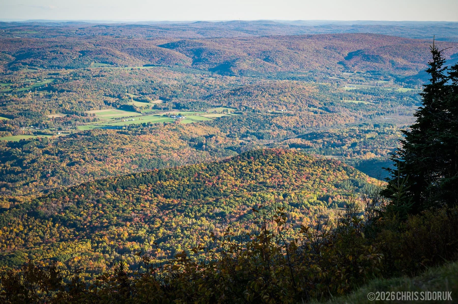
The summit area of Mount Greylock offers scenic views across the Berkshires and surrounding mountain landscape. © 2026, Chris Sidoruk [License this image]
Nearby Berkshires Photography Locations
Mount Greylock is an excellent starting point for exploring the Berkshires, a region with a wide variety of landscape, architectural, and cultural photography opportunities.
If you have additional time in the area, several nearby destinations offer a different perspective on western Massachusetts.
Hairpin Turn – North Adams
Hairpin Turn is a well-known scenic viewpoint along Route 2 near North Adams.
The overlook provides an elevated view of the winding road and surrounding valley, making it a recognizable roadside photography location in the Berkshires.
The viewpoint is particularly interesting during autumn, when surrounding hillsides add seasonal color to the landscape.
Wide-angle compositions can show the road and valley together, while longer focal lengths can emphasize the curves and surrounding terrain.
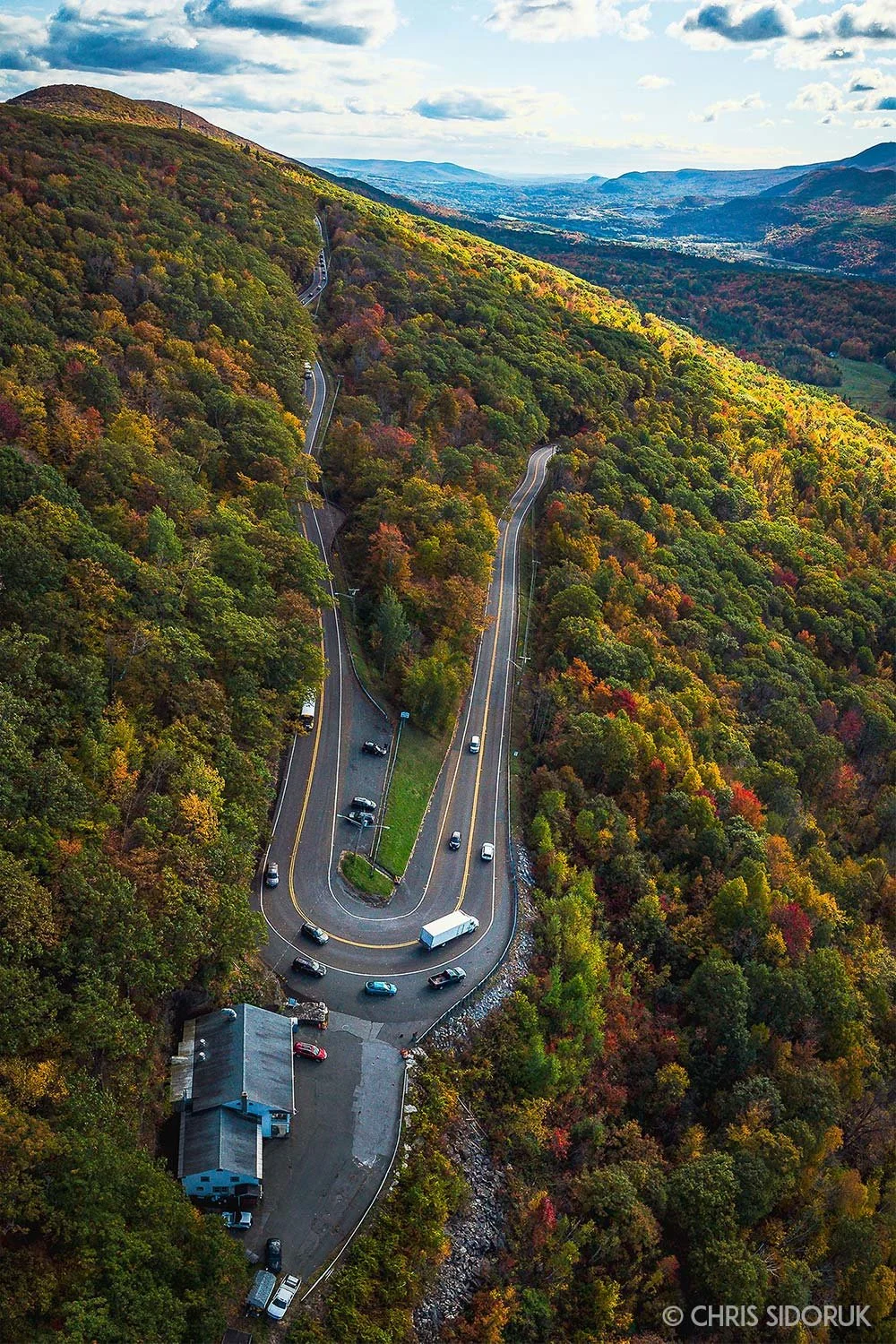
Hairpin Turn near North Adams offers an elevated view of the winding mountain road and surrounding Berkshires. © 2026, Chris Sidoruk [License this image]
Natural Bridge State Park – North Adams
Natural Bridge State Park offers a different type of landscape photography from the open mountain views of Mount Greylock.
The park is known for its natural white marble arch, formed by glacial meltwater, and the surrounding gorge and rock formations.
The combination of geology, flowing water, and forest creates opportunities for closer landscape compositions and details.
The park operates seasonally, so check its current opening dates and visitor information before planning a visit.
Williamstown
Williamstown provides a quieter New England setting with historic architecture, tree-lined streets, and mountain scenery.
The town is also home to cultural attractions and museums, making it a worthwhile addition to a broader Berkshires visit.
For photographers, the combination of architecture, landscaped grounds, and surrounding hills offers a change from the mountain-focused compositions found at Mount Greylock.
North Adams
North Adams is another useful stop when exploring the region.
The city combines mountain surroundings with historic architecture and cultural attractions. It can be a good place to extend a landscape photography trip into a broader travel and documentary photography experience.
A visit to Mount Greylock can easily become part of a longer Berkshires photography itinerary, particularly during autumn when the surrounding towns and roads offer additional seasonal scenery.
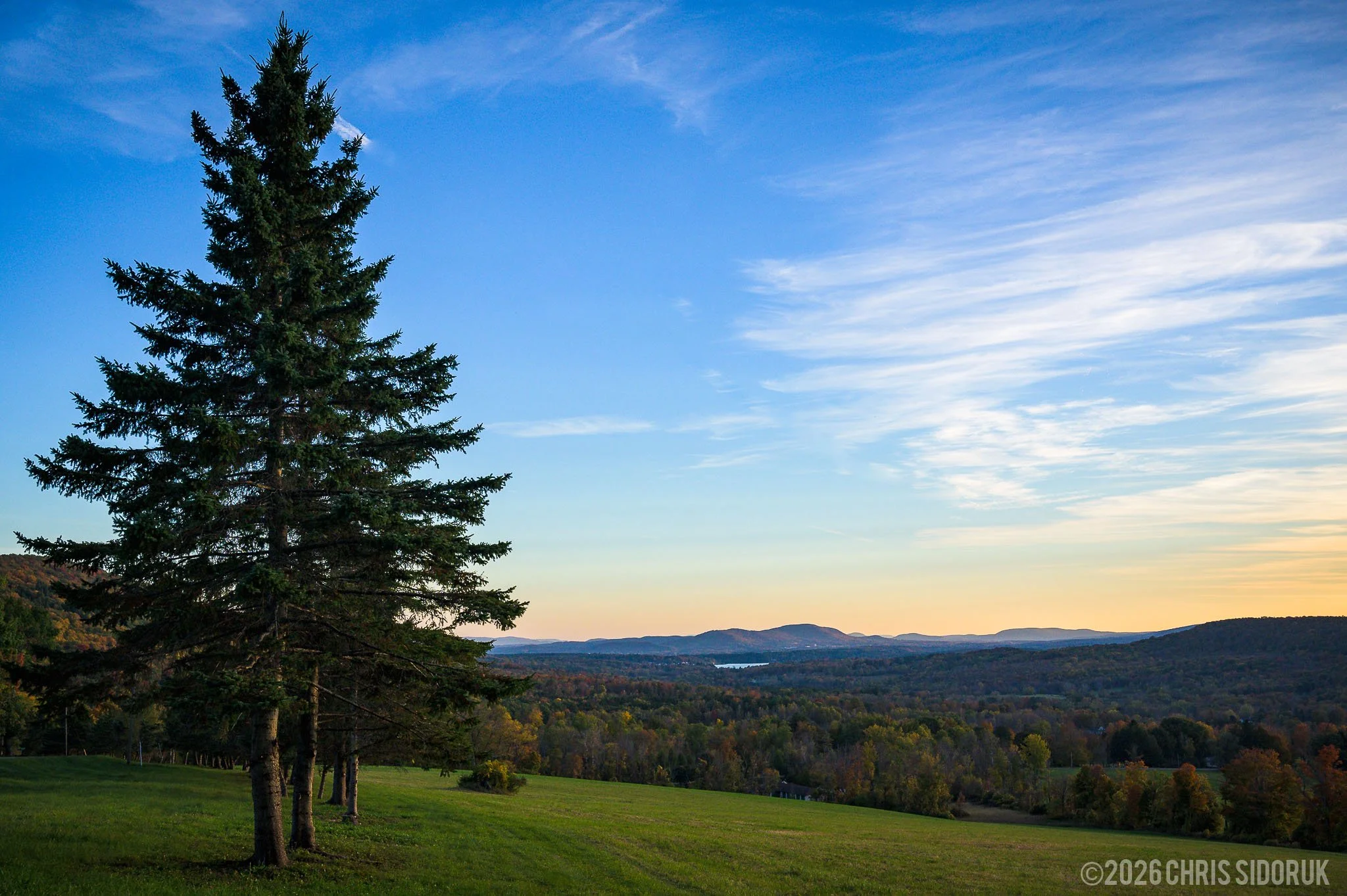
The surrounding Berkshires offer additional landscape and travel photography opportunities beyond Mount Greylock. © 2026, Chris Sidoruk [License this image]
Final Thoughts
Mount Greylock is more than a scenic drive to the highest point in Massachusetts. It is a varied landscape that offers something different depending on where you explore, when you visit, and what the weather brings.
The summit provides the expansive views that make the mountain recognizable, while the surrounding roads, forests, trails, and historic structures offer additional opportunities for photography and exploration.
Autumn is an especially rewarding time to visit, but the mountain should not be thought of as a destination limited to fall foliage. Spring and summer bring their own character, while winter creates a quieter and more dramatic landscape.
For photographers, the most rewarding visits often come from allowing time to explore beyond the main viewpoint. A clear day may reveal distant mountain layers, while fog or changing light can create a completely different scene.
Whether visiting for the panoramic views, hiking trails, historic landmarks, or landscape photography, Mount Greylock remains one of the most distinctive destinations in the Berkshires.
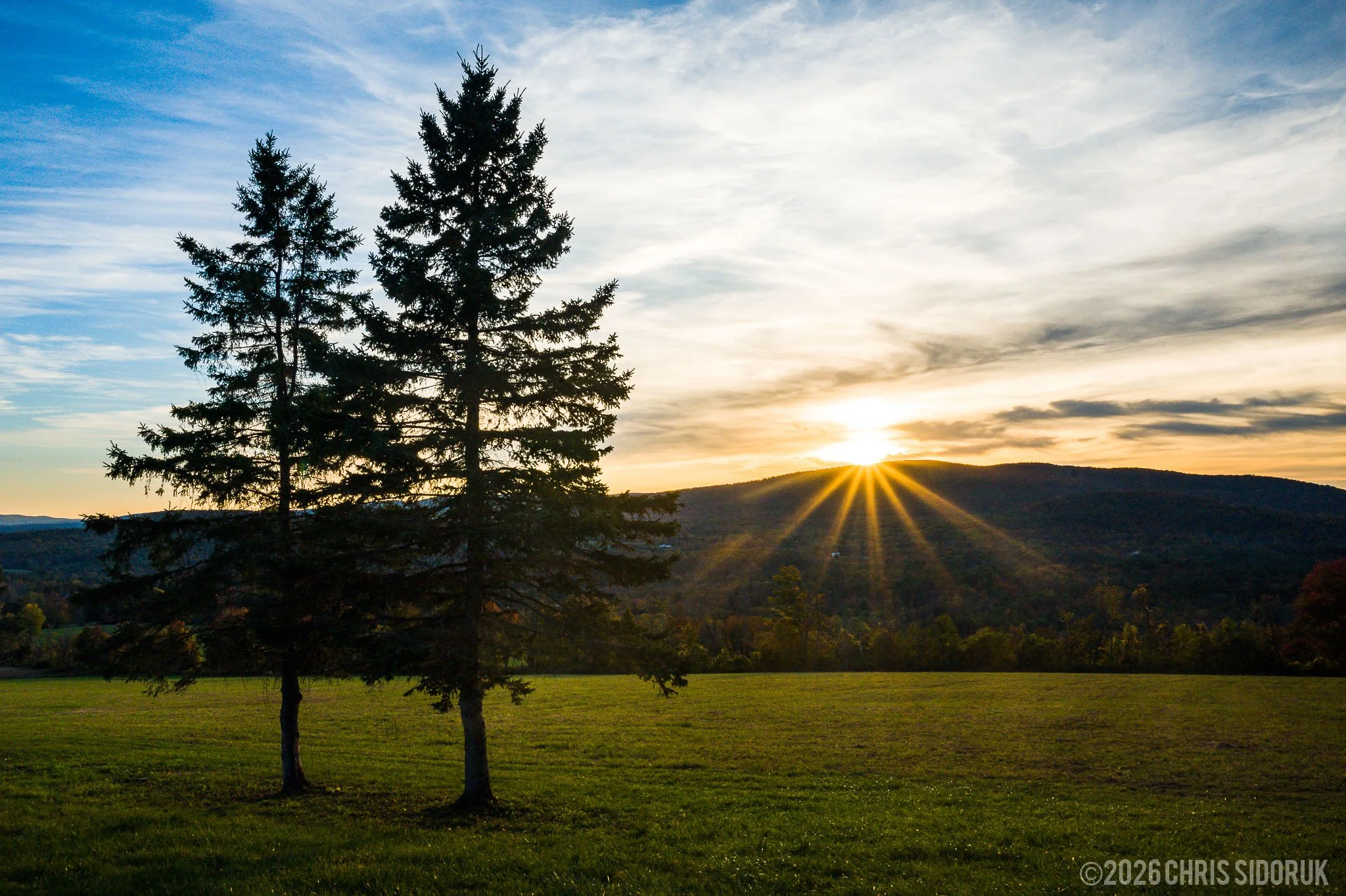
The changing light and scenery of Mount Greylock make it a rewarding landscape photography destination throughout the year. © 2026, Chris Sidoruk [License this image]
Frequently Asked Questions
Where is Mount Greylock located?
Mount Greylock is located in Berkshire County in western Massachusetts, near Lanesborough, Adams, and North Adams. The main visitor center is at 30 Rockwell Road in Lanesborough.
How high is Mount Greylock?
Mount Greylock reaches 3,491 feet above sea level, making it the highest point in Massachusetts.
Can you drive to the summit of Mount Greylock?
Yes. Seasonal auto roads provide access to the summit by car. The roads generally operate from late spring through late October, although opening and closing dates vary by year. Check the official reservation page before visiting.
Is there a fee to visit Mount Greylock?
The reservation and visitor center have free-access areas, but fees may apply at designated summit and other parking areas. Rates and collection schedules can change, so check the current Massachusetts DCR parking information before traveling.
What is the best time of year to visit Mount Greylock?
Mount Greylock offers different experiences throughout the year. Fall is especially popular for foliage photography, while summer is suitable for hiking and scenic driving. Spring and winter provide quieter seasonal landscapes, although weather and access conditions can be more challenging.
Is Mount Greylock good for fall foliage photography?
Yes. Mount Greylock is one of the most recognizable fall foliage destinations in the Berkshires. Its elevation and surrounding terrain provide opportunities to photograph changing colors across different hillsides and valleys. Peak timing varies from year to year.
For photographs documenting one particular autumn visit, see my Mount Greylock Fall Foliage Photography Guide.
Can you visit Mount Greylock without hiking?
Yes. During the seasonal auto-road operating period, visitors can drive to the summit and explore the main viewing areas without completing a long hike. Other areas of the reservation can be reached by trail.
Is the War Memorial Tower open year-round?
No. The Veterans War Memorial Tower operates seasonally and is subject to weather-related closures. Check the official Mount Greylock State Reservation information for current operating dates and hours.
Is Bascom Lodge open year-round?
No. Bascom Lodge operates seasonally and is managed separately from the state reservation. Its hours, meals, and overnight accommodations should be confirmed directly with the lodge.
Are dogs allowed at Mount Greylock?
Yes. Dogs are permitted in the reservation but must remain on a leash and be attended at all times. Follow posted restrictions and keep dogs under control around other visitors and wildlife.
Are drones allowed at Mount Greylock?
No. Drone use is prohibited at Mount Greylock State Reservation. Visitors should not plan drone flights from within the reservation.
What lens is best for Mount Greylock photography?
A wide-angle lens is useful for expansive summit views and dramatic skies. A standard zoom provides flexibility for general landscape photography, while a telephoto lens is especially useful for isolating distant mountain ridges and photographing layers across the Berkshires.
Official Visitor Resources
For current operating information, maps, access restrictions, and visitor planning, consult these official resources:
==========
Photography by Chris Sidoruk, a Connecticut photographer documenting landscapes, coastal locations, and live music throughout New England.
Photographs on this page are protected by copyright. Images may not be copied, modified, reproduced, or redistributed without written permission.
Request a license or learn more about image use.
Explore More Photography
More Berkshires Photography
New England Landscape & Coastal Locations
Landscape Photography Guides